Happiest Kid Finds
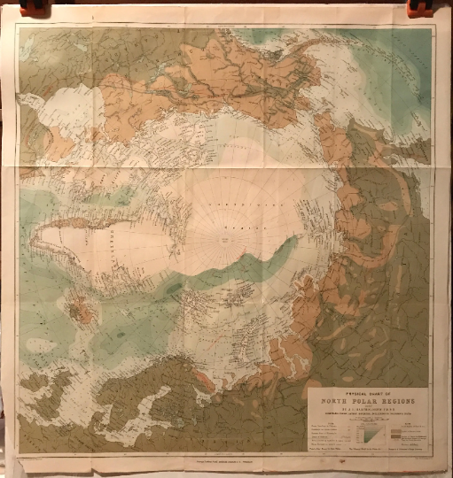
Physical Chart of North Polar Regions, antique map, 1897
Physical Chart of North Polar Regions, antique map, 1897
Regular price
$259.99
Regular price
Sale price
$259.99
Taxes included.
Shipping calculated at checkout.
Quantity
Couldn't load pickup availability
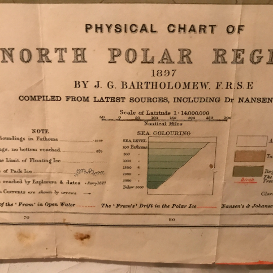
Physical Chart of North Polar Regions
antique map
dimensions: 21 1/2" x 22 1/2"
date: 1897
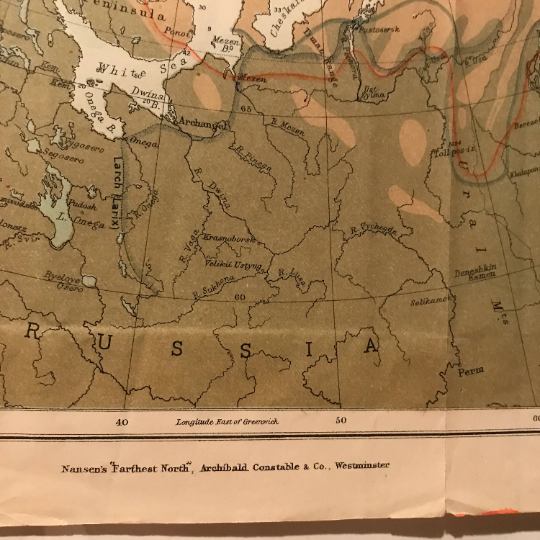
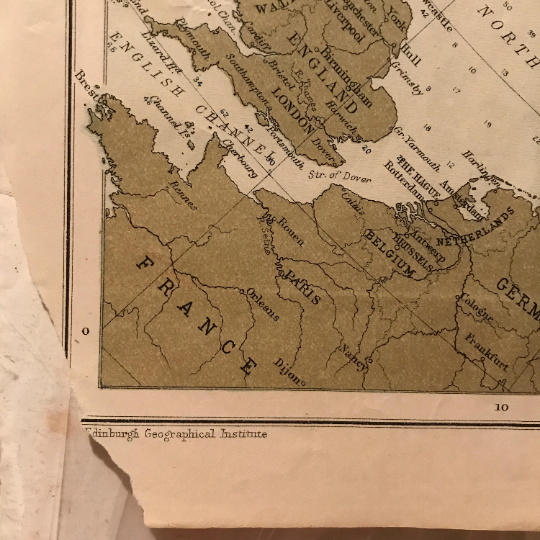
condition: fair to good - the map had been folded; bottom left corner is missing and there is slight toning; overall great color
pr: J.G. Bartholemew F.R.S.E. Compiled From Latest Sources Including Nansen's Data
Detailed map of the North Polar Regions, prepared following the Nansen's return from his expedition to the North Polar Regions between 1893 and 1896.
About Nansen: Fridtjof Nansen (1861 - 1930) was a Norwegian explorer, scientist, diplomat, humanitarian and Nobel Peace Prize laureate. He led the team that made the first crossing of the Greenland interior in 1888, cross-country skiing on the island, and won international fame after reaching a record northern latitude of 86 o14' during his North Pole expedition of 1893-96.
Purchase this item now for only $259.99
(this item will be shipped flat and will ship FREE within the US)
Free shipping within the United States - Economy 5–8 business days. Authenticity guaranteed. Orders ship within 1-2 days. Carefully packaged for safe transit. International shipping available — rates calculated at checkout. Please review all photos and condition notes before purchasing, as all sales of vintage items are final. Contact the owner for more details.